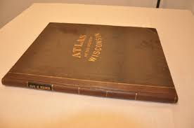
Atlas of Wisconsin Value Guide

- Period
- 1972
- Origin
- United States
- Materials
- Paper, cloth-bound cardboard cover
- Category
- Wisconsin atlas
The 1972 Atlas of Wisconsin is a definitive academic work by Charles W. Collins, published through the University of Wisconsin-Parkside. It is highly collectible for its thematic depth, capturing the state's physical and economic landscape during a pivotal era of Midwestern transition.
What Is Atlas of Wisconsin Worth?
The typical price range for Atlas of Wisconsin is $25 - $35 based on recent sales. However, values can vary depending on the item's condition, rarity, and other factors such as:
- The condition of the cloth-bound cover, specifically looking for fading or shelf wear.
- Completeness of the internal pages and the absence of library stamps or markings.
- The presence of any original dust jacket, though many were issued without one.
- Market demand for regional Wisconsin history and 1970s cartographic references.
How to Identify Atlas of Wisconsin?
- Verify the author is listed as Charles W. Collins on the title page.
- Check for the original cloth-bound cardboard cover typical of the 1972 first edition.
- Confirm the publisher is associated with the University of Wisconsin-Parkside.
- Look for the comprehensive thematic maps covering population and physical geography.
History of Atlas of Wisconsin
Published in the early 1970s, this atlas was a significant academic undertaking by Charles W. Collins through the University of Wisconsin-Parkside. It provides a detailed thematic look at the state's physical geography, population, and economic landscape during a period of transition in the American Midwest.
Shop Similar
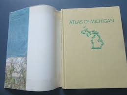
Atlas of Michigan edited by Lawrence M. Sommers 19…
ebay.com · $15
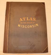
THE ATLAS OF WISCONSIN: GENERAL MAPS AND GAZETTEER…
ebay.com · $19

The Atlas of Wisconsin by Robinson, Arthur H. & Je…
abebooks.com · $25
Map of the World in Azimuthal Projection Centered …
abebooks.com · $50

SUPER RARE VINTAGE the Times Atlas of the World Se…
etsy.com · $350
Atlas of the State of Wisconsin - Curtis Wright Ma…
curtiswrightmaps.com · $750
Related Items


Have an antique to identify?
Get an instant AI appraisal with values, history, and market insights.
Download for iPhone