Map of Daviess County, Kentucky Value Guide
- Period
- 1930s
- Origin
- United States
- Materials
- Paper, ink
- Category
- Kentucky maps
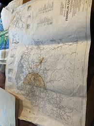
This 1930s map of Daviess County, Kentucky, is a significant historical document capturing the region's infrastructure before the digital age. It is highly collectible for its detailed rendering of the Ohio River trade routes and the early development of rural Kentucky road systems.
What Is Map of Daviess County, Kentucky Worth?
The typical price range for Map of Daviess County, Kentucky is $75 - $75 based on recent sales. However, values can vary depending on the item's condition, rarity, and other factors such as:
- Physical condition of the paper, including the presence of foxing, tears, or significant fading of the ink.
- The level of detail regarding local geography, specifically the accuracy of the Ohio River features and small settlements.
- Historical relevance to genealogists and local researchers looking for specific 1930s property or infrastructure data.
- Rarity of the specific edition and its preservation as a snapshot of pre-modern Kentucky transportation.
How to Identify Map of Daviess County, Kentucky?
- Verify the 1930s era by checking for specific paper aging and the style of ink printing typical of early 20th-century United States cartography.
- Look for detailed depictions of the Ohio River and its proximity to local settlements which were vital for regional trade.
- Confirm the presence of period-specific landmarks such as historic schools, churches, and property lines characteristic of rural Kentucky planning.
- Check for the specific inclusion of early infrastructure projects and road networks that defined Daviess County during this decade.
History of Map of Daviess County, Kentucky
Maps like this were essential tools for navigation, planning, and understanding local geography before the advent of digital mapping. Early 20th-century county maps often included details such as property lines, schools, churches, and small settlements, offering a unique historical snapshot of rural and developing areas. They serve as valuable historical documents for researchers and genealogists, illustrating the landscape and infrastructure of a bygone era. This particular map focuses on infrastructure like roads and the Ohio River, which was crucial for trade and transportation in Kentucky.
Shop Similar
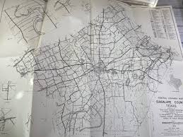
Choose 1 Vintage Texas County Map 60s 70s ~ Texas …
etsy.com · $13
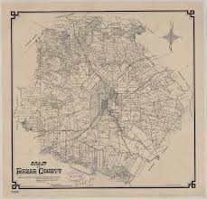
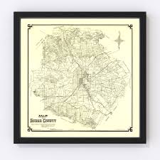
Map of Bexar County | 88905, Map of Bexar County, …
historictexasmaps.com · $20
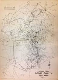
Highway Map Lewis County New York | L. P. M. GAYLO…
argosybooks.com · $350
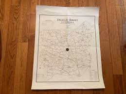
1910 Edition Of Franklin County Georgia Map School…
ebay.com
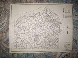
ANTIQUE 1962 ADAMS COUNTY PENNSYLVANIA HUNTING FIS…
ebay.com
Bexar County Map 1887, Vintage Bexar County Map, O…
etsy.com
Related Items
Have an antique to identify?
Get an instant AI appraisal with values, history, and market insights.
Download for iPhone